Wertheim – Beckstein

Stage   no. 25
Date Thursday 28 July 1999
Distance stage   38,0 km
Distance acum. 970,5 km
Quality of signs Good
Quality of the hike B (great): nice & lovely Taubertal Valley

Today I walk my sixth day of my seven-day-hiking-trip. I leave the camp site in Wörth am Main in the early morning. I am carrying all my luggage on my back for the first time in three days and I take the train to Wertheim. Since I feel I will loose a lot of time and energy if I have to carry my enormous backpack all day I decide to take the bus to the village of Tauberbischofsheim which I am supposed to cross later today. I want to leave my luggage there and pick it later today, during the hike. Unfortunately, I can not find any possibility in Tauberbischofsheim to ditch my backpack, so I take the bus back to Wertheim again, still carrying all my belongings.

Around noon I start my walk along the river Tauber, upstream. A big part of todays stage uses a very nice cycling path, which is used a lot by tourists and locals. The Taubertal valley is not wide or deep, but it is quiet and full of variation. Of course everywhere you go where the sun shines it is lovely, but this area is really “Liebliches”. Passing tiny little villages like Bronnbach and others I arrive at the end of the afternoon in Tauberbischofsheim, this time by foot. I decide to treat myself very well and have a dinner at the local chinese restaurant. With a full stomach I continue my walk in the delightful summer evening up to the small village of Beckstein.

I have all my stuff with me so for the first time in four days I don’t have to travel anymore at the end of the day. Tomorrow is my last hiking day of this week’s tour. I am glad it will be over; the summer weather is really wearing me out, with not enough liquid during the day to hydrate, blisters on my feet and pain in my back and in my shoulders. It is still very worthwhile to cross this part of Germany, though. I never imagined Germany would be like this. We, Dutch people, cross Germany almost everytime we go on vacation to the south, and I strikes me that there is so much beauty and variety in the landscape and the scenery.

Geplaatst in 4 - Germany | Tags: | Plaats een reactie

Miltenberg – Wertheim

Stage   no. 24
Date Wednesday 27 July 1999
Distance stage    41,5 km
Distance acum. 932,5 km
Quality of signs Good
Quality of the hike B (great): nice stage with lots of variety

Today I walk the fifth day of my seven-day-hiking-tour. I take the train to Miltenberg. I am travelling light again, without backpack. In Miltenberg I walk up the hill again, back to the monastary. 

Using a very nice path that stays more or less at the same altitude above the river Main I walk eastbound. The weather is again very hot, and although I walk a big part of the stage in the shade the heat and the dehydration (for some days now)  is getting to me more and more. Around noon I have an “I must be dreaming” experience: the Trail leaves some woods and all of a sudden I find myself on a parking lot of a huge Penny-supermarket. After a heavy lunch (with yoghurt and other liquid and cold stuff) I continue my hike. I am very releaved that my foot problems seem to be stabilizing today. Also my legs are not some much hurting as they did yesterday. At the end of the afternoon I arrive in the village of Kreuzwertheim and consequently I cross the bridge to the typical city of Wertheim. It is a very pretty city, located at junction of the river Main and the river Tauber. The weather is, again, beautiful, as it is already for the whole week. The area is very nice and along the Trail it is comfortably crowded with people on bicycles and on foot.

I go back by train to the camping site in Wörth, feeling very positive about today’s stage and my performance. I did not expect yesterday that I would be able to do another 40+ kilometer stage this week. This is very promising, as I have still two more days ahead of me this week.

Geplaatst in 4 - Germany | Tags: | Plaats een reactie

Obernburg am Main – Miltenberg

Stage   no. 23
Date Tuesday 26 July 1999
Distance stage   22,5 km
Distance acum. 891,0 km
Quality of signs Good
Quality of the hike C (good): disappointingly few nice views

Today I walk my fourth day of my seven-day-hiking-trip. Due to the tough stage yesterday I have a very slow start this morning. My whole body hurts and I have blisters under both my feet. First I do some shopping in the local supermarket. After that I walk/limp to the railway station in Wörth am Main and I take the train (without luggage) back to the city of Obernburg. I have planned beforehand to leave the luggage for one or two days on the camping site in order to be able to increase my hiking pace. I realize that I have miscalculated the travel time that I will have in the mornings and in the evenings in order to take any advantage of it. I also have way too much stuff in my backpack to be able to hike along without any problem.

In Obernburg I cross the river Main and continue using the eastside of the Main valley.

crossing the river Main at Obernburg

crossing the river Main at Obernburg

The Trail uses the Main-Donau hiking trail, that is situated on a comfortable stable altitude of approx. 100 meters above the river level. Unfortunately, a lot of trees block the view that otherwise would have been magnificant. There’s hardly anyone on the paths in the woods today. It is again very warm, it is the middle of the summer vacation period so many local people are probabely enjoying the sun on the coast in Spain or Italy. I have many problems to keep up a reasonable pace this afternoon, due to the many blisters that I have under my feet and the pain that I have in the muscles in my legs. Finally, I arrive at the finish of today, the monastary of Engelberg, high overlooking the city of Miltenberg and the river Main. 

View from the Engelberg monestary to the north

View from the Engelberg monestary to the north

There is a real Long Distance Trail sign near the monestary, that indicates the trails that pass this panoramic hill top.

trail sign for hikers at the Engelberg monestary

trail sign for hikers at the Engelberg monestary

I walk down the hill towards Miltenberg where I arrive in the beginning of the evening.

I take the train back to Wörth, back to the camping site, where I have some dinner, take care of my feet and try to get some sleep. I have again a tough day ahead of me.

Geplaatst in 4 - Germany | Tags: | Plaats een reactie

Lindenfels – Obernburg am Main

Stage   no. 22
Date Monday 25 July 1999
Distance stage    45,5 km
Distance acum. 868,5 km
Quality of signs Average
Quality of the hike C (good): a couple of nice views, but also a lot of woods

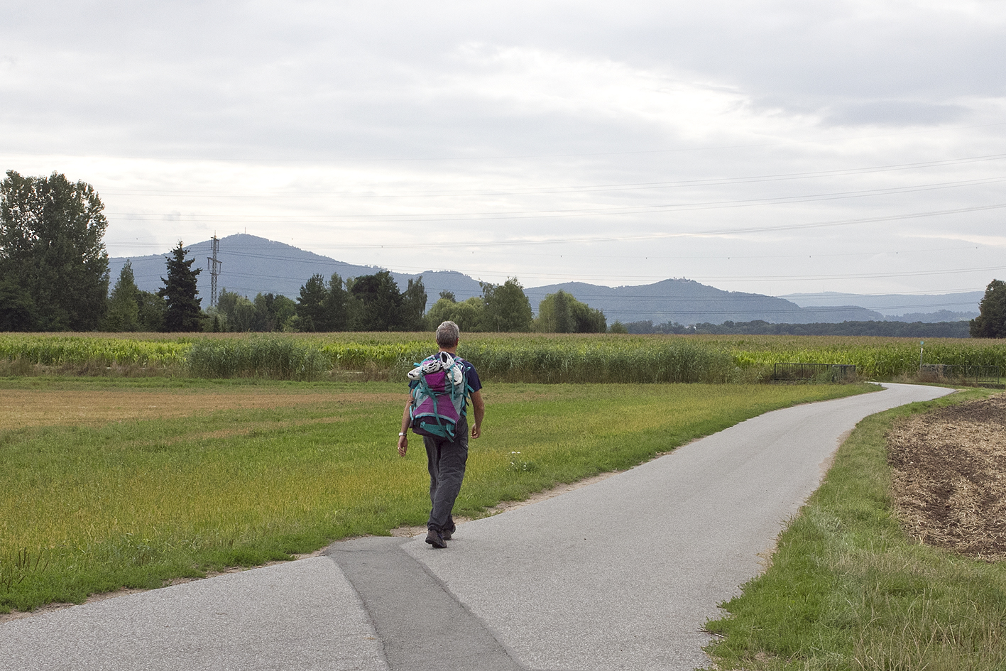
Today I walk my third day of my seven-day-hiking-tour. The blisters that I got yesterday are not comfortable when I prepare for today’s excercise. 

At 05.00 am I leave the camping site in Schlierbach and walk back up the hill to Lindenfels. In the peace and quite at the break of dawn in the early morning I get deeper and deeper in the forrests and hills of the Odenwald. There is hardly any hundred meter of hiking trail that can be called flat, but the hills are gently steep, and not too high, so altogether it should be nice to walk them up and down all day, if it wasn’t for the blisters. On my way eastbound I pass the hill Lärmfeuer (Noisefire) where I allow myself to have a break.

having a break at the Lärmfeuer Hill

having a break at the Lärmfeuer Hill

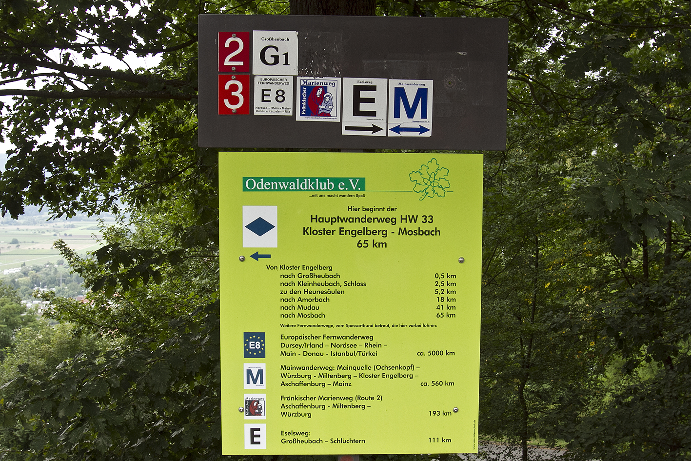
My pace is not high and I have hardly any time to lose, as this is supposed to be one of my longest stages this week. After the Lärmfeuer hill I pass the village Obermossau, and its brewery. The signs in this section of the E8 are changing every now and then, but it is clear (also with the description in the guide book), and in the village that you pass you find E8-labels along with the signs that confirm that you are on the right track.

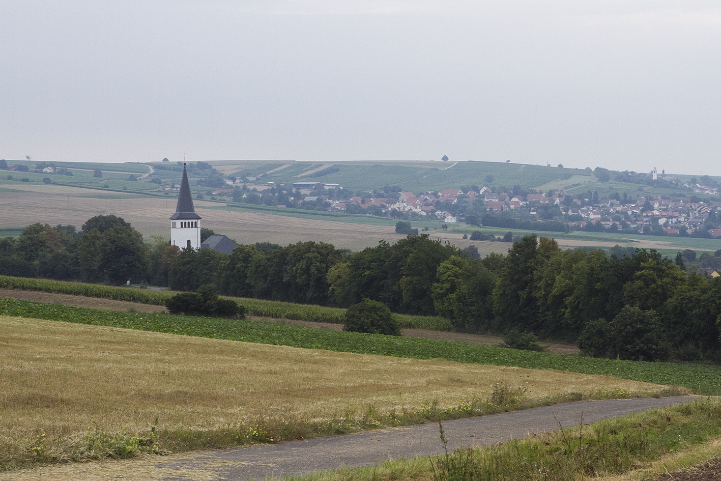
After being some 20 kilometers on the trail this morning I get some distraction as some small aircrafts are descending at eyelevel to a local airport. Shortly after that I approach the city of Michelstadt. The city centre of Michelstadt is very well kept over the past few centuries and it is listed on the Unesco-list. I take a short break at the fountain in front of the ancient town hall.

central square in Michelstadt

central square in Michelstadt

After I have left the city, the trail signs are hard to be found. Just as during the previous days it is very warm today, and around noon there is hardly anybody out on the street anymore, except for a fool with a huge backpack on his way to Vienna. During lunch (I prepare myself a pasta) I have to admit to myself that my feet are hurting too much to be able to make it today to the finish that I have planned if I go on like this. I have no other option than to change my hiking boots with my sneakers. After I continue again, I feel a tremendous releave in my feet and without any (foot) problems I manage to make it to the end of the day. Just before the finish (the river Main) I take a wrong sideway and go in a totally wrong direction, which causes me to walk some 5 kilometers extra to get back to the river again. My finish for today is at the bridge over the river Main in Obernburg.

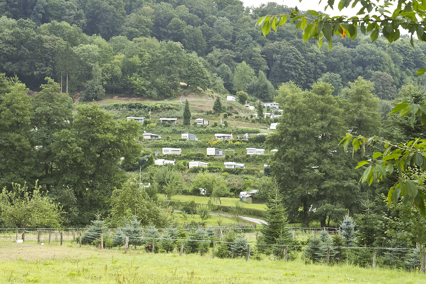
The camping site where I had planned to stay for the night turns out to be closed for 10 years already. After a succesfull hitchhike I arrive at the camping site in the village of Wörth am Main. In the evening hours I chat a little with other travellers (most of them are bicyclers, who follow the river Main up- or downstream). My neighbours turn out to be a German family with three children (5,3 and 1 years old) who are bicycling their vacation away! I feel deep respect for them, I thought I had it rough!

Geplaatst in 4 - Germany | Tags: | Plaats een reactie

Biblis – Lindenfels

Stage   no. 21
Date Sunday 24 July 1999
Distance stage   43,0 km
Distance acum. 823,0 km
Quality of signs Good
Quality of the hike A (fantastic!): a very beautiful stage due to the huge variation in scenery

Today I have the second day of my seven-day hiking tour. I am very lucky with the weather, there are no clouds and it is approx. 25°. Together with all my lugage (17 kg) I take the train back to Biblis.

From there the Trail first continous through the Rhein valley (70 meters altitude) to the village of Auerbach. While I walk through the coloured and florishing fields (quiet and open) the first hill of the Odenwald forrest starts appearing in the far distance. It is the Melibocus (514 m altitude), which I will have to climb from the village of Auerbach.

on the way to the Melibocus Hill

on the way to the Melibocus Hill

After a short break (from noon to 12.15pm) in Auerbach I ascend the very steep path upwards. It is very hot, my backpack is very heavy and I start to get blisters under my feet. Once on top of the hill the view is a little disappointing (a lot of trees block most of the view). The Trail continous from here up and down through the Odenwald Forrest. Altogether I will ascend today some 1100 meters and descend 800 meters, which would be a very good day in the Alps. I arrive in Lindenfels at the beginning of the evening and without a problem I find the local campingsite. Unfortunately it is 2km down the hill, in the village Schlierbach.

terrace camping site below Lindenfels

terrace camping site below Lindenfels

My feet are hurting badly and the care that I am able to provide once I have put up my tent is a blessing. On the meadow directly next to the camping there is a big fancy fair tonight, including a big Beer & Sausage tent and a tractor pulling race. I have a look and there is a very nice, relaxed atmosphere. I am tired enough to be able to sleep through the noise of the races. Tomorrow will be another tough day for me.

Geplaatst in 4 - Germany | Tags: | Plaats een reactie

Bolanden – Biblis

Stage   no. 20
Date Saturday 23 July 1999
Distance stage    43,5 km
Distance acum. 780,0 km
Quality of signs Good
Quality of the hike C (good): interesting stage, but not a special one

For the first time I will be hiking along the E8 for one straight week. I arrived last night by trian in the city of Worms and walked to the local camping site. After some problems to put up my tent in the dark (one of the two sticks broke) I have managed to sleep reasonably well for a few hours. The alarm wakes me up early. I walk back to the railway station and by train and bus I go to my starting point of today. As I will be staying in Worms tonight as well I will not be carrying my heavy backpack today (=wonderfull!).

The Trail starts very nice, with some ascending and descending and some nice views in the valley of the river Pfrimm. After passing an ancient tower on top of a hill the rail goes down to the village of Albisheim.

Albisheim an der Pfrimm

Albisheim an der Pfrimm

A few kilometers along the valley, after the village of Monsheim, the path becomes boring as it goes only straight out for a long time. For the last time during my E8 I cross the highway A61 (Venlo-Ludwigshafen), and consequently, 32 kilometers after my start this morning, I finally cross the river Rhein near Worms. I use the famous Nibbelungenbridge, near the city centre, the same bridge I crossed last night on my way to the camping site. 

Nibbelungen Bridge in Worms

Nibbelungen Bridge in Worms

Directly next to the river on the camping site I have my tent, or the remainders of it that are stuck together with plasters, I have a short break. After changing clothes and shoes I jogg through the Rhein-valley to the village of Biblis for 10 kilometers. The jog is easy, the road and path is flat and easy to follow.

After arriving in Biblis I take the train back to Worms and walk back to the camping site, again. I try to recuperate in order to prepare for the tough day that lies ahead of me.

Geplaatst in 4 - Germany | Tags: | Plaats een reactie

Obermoschel – Bolanden

Stage   no. 19
Date Monday 25 January 1999
Distance stage   35,0 km
Distance acum. 736,5 km
Quality of signs Good
Quality of the hike B (great): surprisingly nice, some nice views 

Early in the morning I drive from Bingen to the village of  Alzens, for my second hiking day during this trip. In Alzens I take the bus (full with schoolkids) to Obermoschel.

The trail will lead me today over the hills of the Pfalz and crossing some tiny little villages. The weather is better than yesterday; it is still chilly, which is no surprise end of January, but the sky is clearer. The views that I from the top of the hills are very nice, which I did not expect beforehand. As Trego has described it for some stages now, today I will also be climbing the Donnersberg hill (687 m). This hill can be spotted during some stages already (with clear view, of course!) The Donnersberg is climbed on its “easy” side and descended on its steep side. I had not been looking forward to this hill, partly because of its hostile name (Thunder mountain) and partly because it is the first real stand alone hill that I will be climbing on this Trail. It turns out to be no alpine giant. The descent is more inconvenient due to the blisters that I have at the end of my second hiking day. Finally, the last part of this stage leads through the plain fields to the village of Bolanden.

Here I take the bus back to Alzens, and I drive back home again.

Geplaatst in 4 - Germany | Tags: | Plaats een reactie

Stromberg – Obermoschel

Stage   no. 18
Date Sunday 24 January 1999
Distance stage   46,5 km
Distance acum. 701,5 km
Quality of signs Good
Quality of the hike D (not so good): again, not inspiring 

For the first time during my E8-project I will be hiking two consecutive days. I arrived yesterday evening in the youth hostel in the village of Bingen. I hope for the owners that they are more busy during the rest of the seasons than that they are this weekend. Early in the morning I drive to Bad Kreuznach and take the bus to Stromberg, my starting point.

Just like during the previous stage (which also crossed the Soonwald forrest) this stage is not nice or special; a lot of trees are blocking the view and there’s no distraction. The weather is not stimulating as well; it is a gloomy and chilly day, with temperatures around freezing point. As long as I keep on moving I don’t notice the cold so much. Due to the cold I have difficulty to keep warm and my pace is declining during the day. Finally, at the end of the afternoon, I arrive in the tiny village of Obermoschel, where I have planned to arrive.

After arriving in Obermoschel it appears (what I was afraid of already during my preparations) that there is no more bus back to Bad Kreuznach (again, the lean Sunday timetables . . .). I call a taxi and finally get back to my car. I have a dönner kebab sandwich (sort of shoarma, but with lots of extra’s) and I drive back to Bingen, to the youth hostel. The only other guest that was here last night has checked out. I can’t blame him.

Geplaatst in 4 - Germany | Tags: | Plaats een reactie

Oberwesel – Stromberg

Stage   no. 17
Date Sunday 15 November 1998
Distance stage    31,5 km
Distance acum. 655,0 km
Quality of signs Good
Quality of the hike D (not so good): not inspiring 

I can be very enthousiastic about some stages, and can be left speechless about others. This stage is one of the latter ones.

At daybreak I leave Oberwesel. The Trail leaves the river Rhein and crosses woods and hills in the south/southsouthwest direction. After 14,4 kilometers the E8 crosses another European Hiking Path, the E3 (Ukrain – Spain). It is remarkable to think that if I, located in a forrest in the middle of Germany, take the right hand road in stead of going left, that I would end up in Pamplona, Spain in stead of in Vienna, Austria. Shortly after this “excitement” a few hills are to be taken on which the first freshly fallen snow is already present. There are very few other hikers out on this gloomy autumn day. Just before the village of Stromberg the Trail crosses the A61 highway.

Stromberg is my finish for today. I take the bus and train back to Oberwesel and drive home again.

Geplaatst in 4 - Germany | Tags: | Plaats een reactie

Koblenz – Oberwesel

Stage   no. 16
Date Sunday 6 September 1998
Distance stage   48,0 km
Distance acum. 623,5 km
Quality of signs Good
Quality of the hike B (great): variety in scenery, some great views 

This morning I left home early and drove to the city of Koblenz. The weather forecast is not very good, and that’s what it will turn out to be: the rain comes pouring down all day long.

Starting at the central railway station in Koblenz I walk through the city centre, pass the junction of the rivers Rhein and Moezel and out of the urban area. After 6 kilometers I pass the significant broadcasting tower on top of the hill, overlooking the city. Due to the fog and clouds there is no view at all. The Trail leaves the river Rhein just after crossing the village of Boppard and continues to go south, parallel to the river through the ajourning hills and valleys. Just before I reach my finish of today in the village of Oberwesel (great view) the Trail approaches the river again.

I take the train back to Koblenz and consequently the car back home again. It starts to be an anoying distance after a 10-hour-hiking day.

Geplaatst in 4 - Germany | Tags: | Plaats een reactie