| Stage no. |
104 |
| Date |
Friday 19 September 2025 |
| Distance stage |
74,0 km |
| Distance acum. |
3.910,0 km |
| Quality of signs |
very good |
| Quality of the hike |
A (must do!): by doing some boring sections all in one stage it became absolutely worth while!
https://www.strava.com/activities/15866210778
|
| Link to Strava |
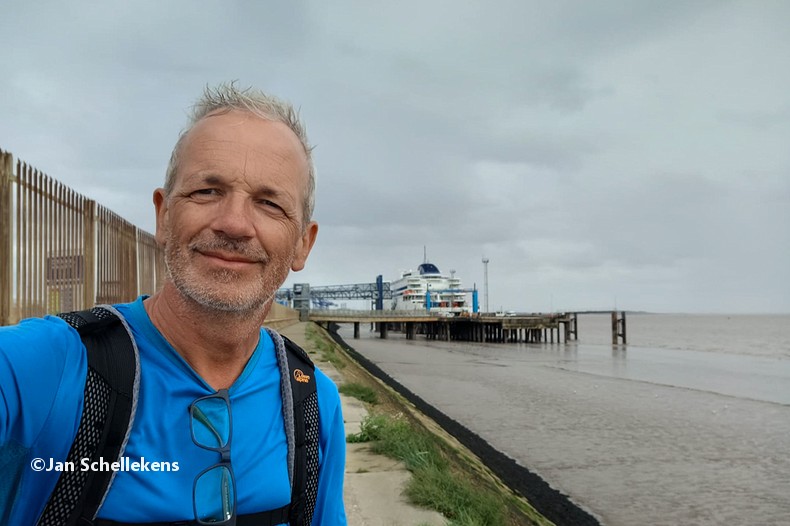
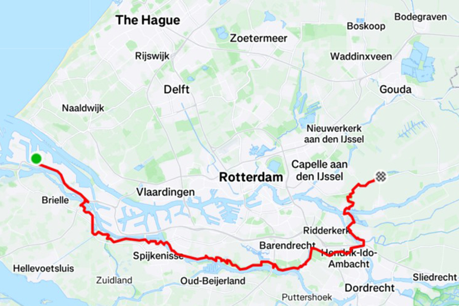
It’s a special day for me: my first stage on the (new) E8 section in my country, and it will be my my 60th birthday. After some very tiresome travelling to get to the starting point at Europoort I start at 23:20 from the deserted terminal:
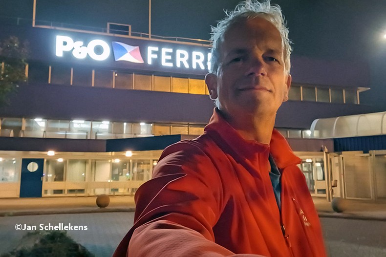
start of the NL section
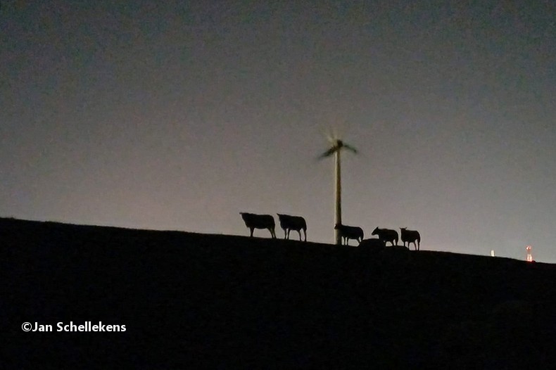
The first 10 kilometers are crossing Europoort, one of the biggest industrial sites of Europe. Much chemical industry (like oil refinaries) are located here, operating day and night, lighting the sky with lights, flames and smoke. Not the nicest part of the E8, but passing this at night brings fascinating views. At 00:00 midnight my 60th birthday starts. I am walking directly next to the A15 highway (almost deserted), and directly under huge windturbines. When I look up I see the fast rotating blades coming down at high speed directly in my direction, again a unique experience on the E8.
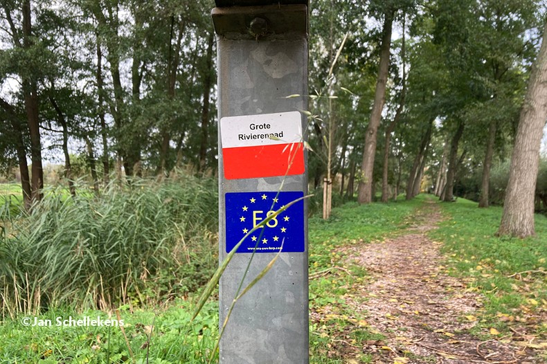
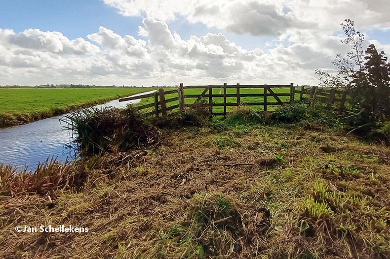
The local name of the Dutch E8 is the Big River Trail; it leads from west to east across the country upstream along several big rivers. After almost two hours hiking I cross the river to the southwest and leave the industrial site behind me. Almost directly the landscape changes dramatically to very small and old villages, surrounded by dykes and meadows. I continue in a moderate pace, as I have a long day ahead of me.
nightly views back to Europoort
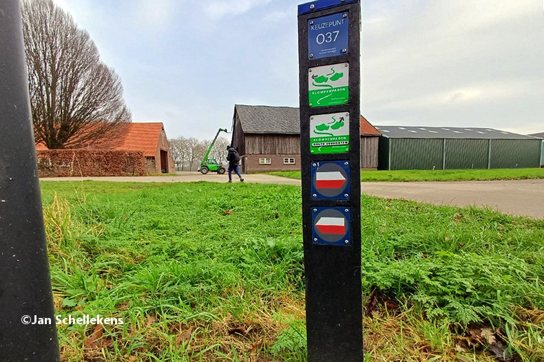
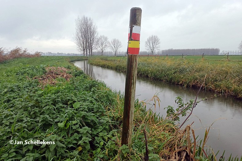
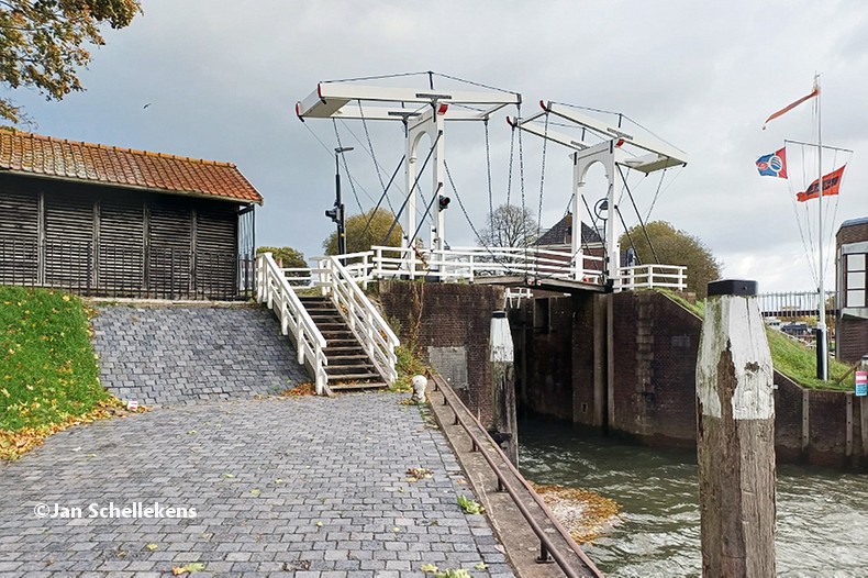
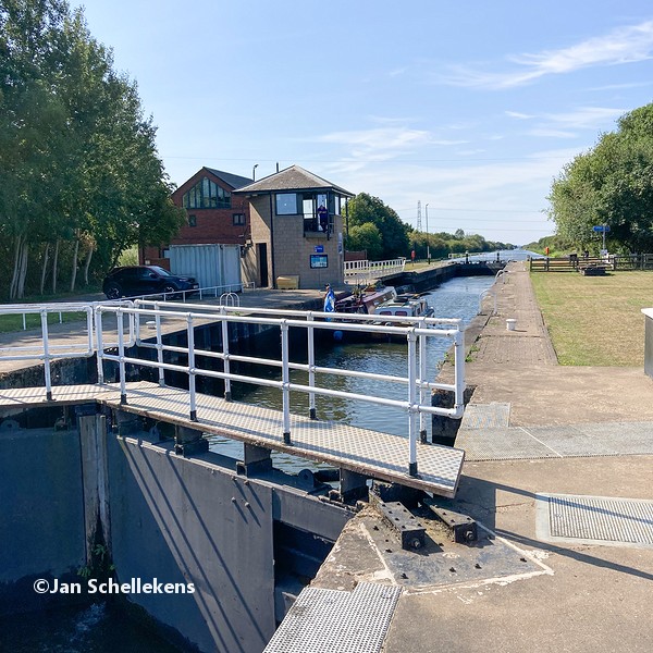
In the nightly hours the trail signs are still well to be found: I have my Garmin in my hand and for confirmation I flash my headlight every now and then. The trail uses most of the time roads, so there is no need to check your feet for every step. At 04:45 I pass the city of Spijkenisse. Shortly after I will cross the Spijkenisser Bridge, which is under reconstruction. From the governmental websites is was not clear if the bridge is still available on weekdays (it is definitely closed on weekends), or if I had to wait for the ferry service that starts at 06:00. It turns out the bridge is available for pedestrians and bicycles today, but I do have to wait 10 minutes as the bridge is open to let some big tankers pass. I use the time to tie my shoes again and have something to eat and drink. After the bridge the trail start to follow the bare river banks.
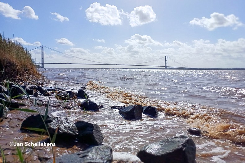
When I pass the Rotterdam suburbs of Hoogvliet there a few street benches along the river and I lay down for some 10 minutes to have a power nap. Walking during the nightly hours is not very difficult, although I get tired, inevitably. Obviously, I am not 59 years old anymore. After dawn the views are typical Dutch river landscape-ish: wide scenery and big tankers passing every couple of minutes.
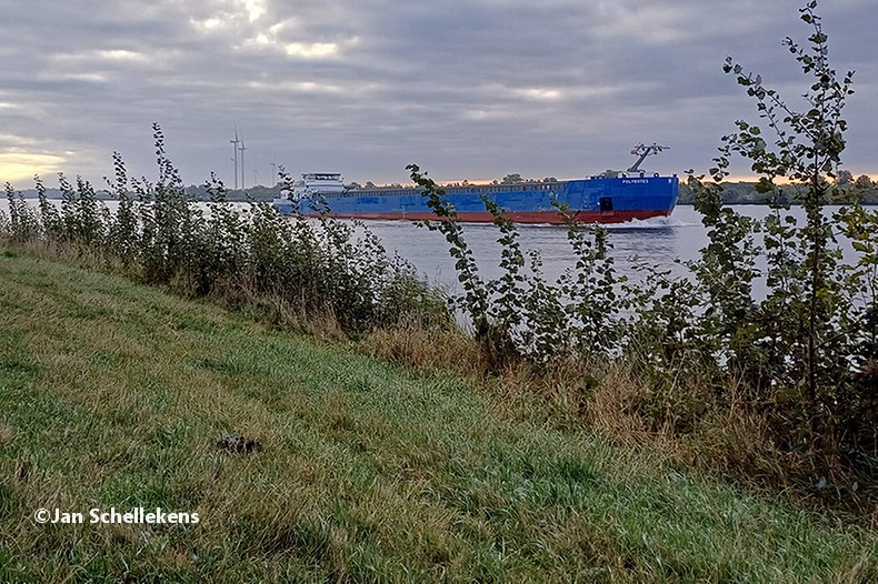
huge inland tankers
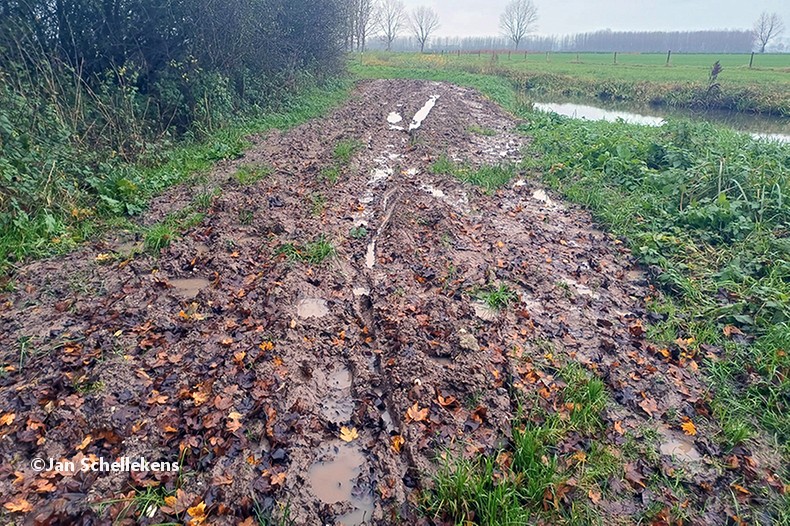
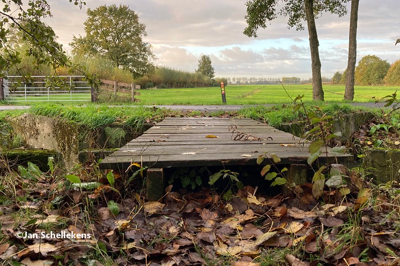
At approx. 34 kilometer the Johannapolder is being crossed, which is special for hikers. The soil of the river bank is at the same level as the average water level of the river. Since I am still relatively close to the North Sea, which has very strong tides, it means that the river bank is under water for parts of the day. Nowadays there are boards for hikers that enable them to keep their feet dry at any tide. I have chosen my starting time of this stage in such a way that I am at the Johannapolder during low tide.
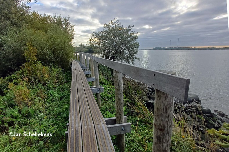
boards for hikers to cross the low lands
After I have passed the last boards there is still a section of approx. 50 meters that is still very wet and muddy, from the high tide in the previous hours. After passing this section I continue with mud covered boots.
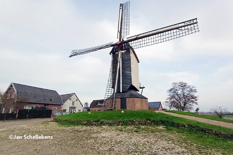
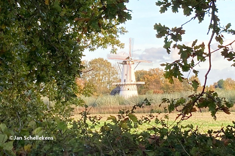
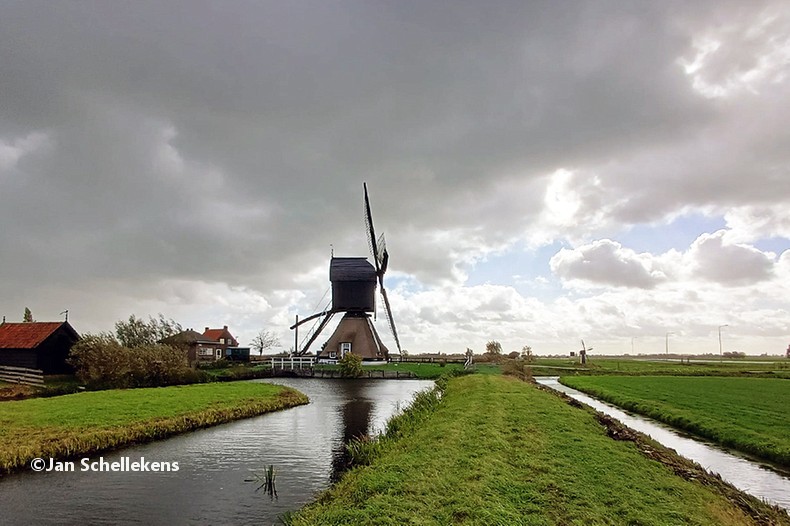
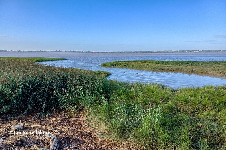
Once the day has really started the weather gets brighter and I enjoy the lovely temperatures. As I am going east I have the sun shining in my face, and eyes, for several hours, which becomes tiresome. The trail crosses the riverlandscape, which means no shield from the sun or the weather. It is lovely to be outdoors, having a gentle breeze as tailwind, but the temperatures are increasing. At 13:00, after hiking 61 kilometers in 13.5 hours, I arrive in the city of Alblasserdam, where my wife is waiting for me for my birthday lunch. We order pancakes and enjoy the view of the old inland harbor. After lunch she joins me for an hour during which we first go north along the river, where big ships are passing us all the time. At some point the trail goes to the right, eastbound, down the dyke into the polder. There are no cars allowed in this section and we see old windmills, everywhere we look. We entered the UNESCO site of Kinderdijk, where tens of traditional windmills (some are 200+ years old) used to work to keep the waterlevel in these low lands at the desired level. There is no noise, there is no wind, just the magical views on this beautifull summer day. Truly magic!
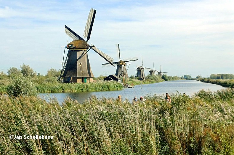
fairy tale views at UNESCO site Molendijk
There are many tourists enjoying the scenery, but it is peacefull and quiet, as the roads to not allow any traffic. It is getting hot (27 degrees) and I take every excuse to have a short break and get something to drink. I am very tired but I want to continue as far as I can.
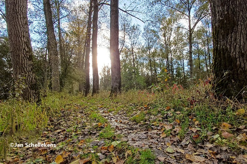
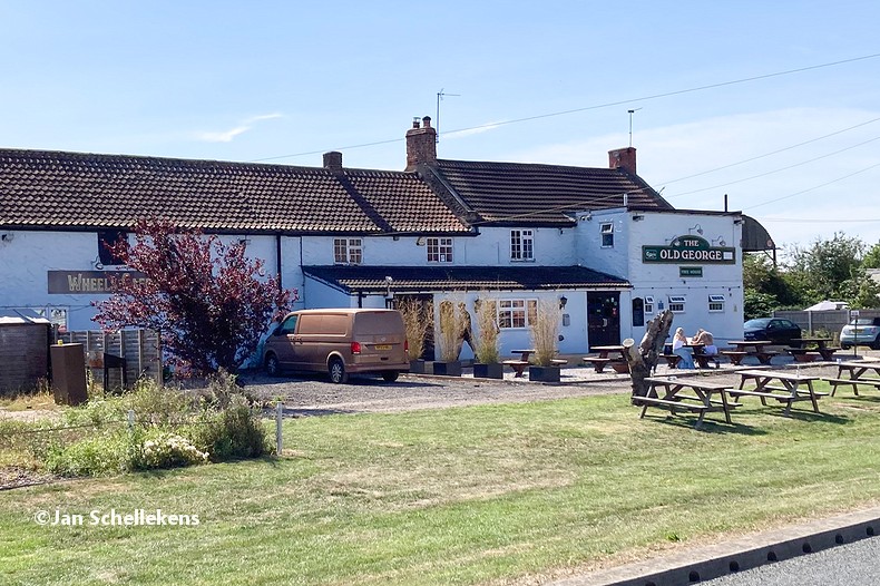
After the windmills the trail uses a ferry service to cross the river towards the next polder, which also has some trees and bushes that give some incidental shades. After 70 kilometers my daughter Linda joines me to support me in these difficult kilometers. By the time we arrive at the Loetbos forrest, after 74 kilometers, I call it a day. It was a wonderfull 60th birthday, truly unforgettable.