
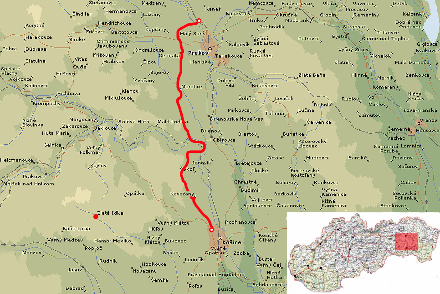
| Stage no. | 70 |
| Date | Tuesday 29 May 2012 |
| Distance stage | 59,0 km |
| Distance acum. | 2624,0 km |
| Quality of signs | good |
| Quality of the hike | B ( very good): hills, fields, views |
I arrived in Slovakia for a trip of three hiking days in my favorite time of the year: early summer, with long hours of daylight that enables you to move on. After flying to Bratislava I took the train to Trencin, where I have spent the evening, and where I got on the nightbus, eastbound.
At 04.00am sharp the bus arrives at the bus & railway station in Kosice. I take a taxi to the outskirts of Kosice where I pick up the Trail again in the morning twilight, at 04.15. The general direction of the Trail from Kosice is straight north, with some turns and curves here and there. From Cermel the Trail goes uphill in stages, and the view that you have behind you, at Kosice and its surroundings, increases every few minutes. After crossing the open area, and spotting some foxes and deer, the Trail leads into the forrest. After passing a sign of a national park the trail is following a concrete wall of some 3 meters height for several kilometers. Just after map #136 ends the trail make a huge curve to the east, downhill towards Kysak. At the start of the descend there is a nice view on the valley below, situated high on the cliffs.
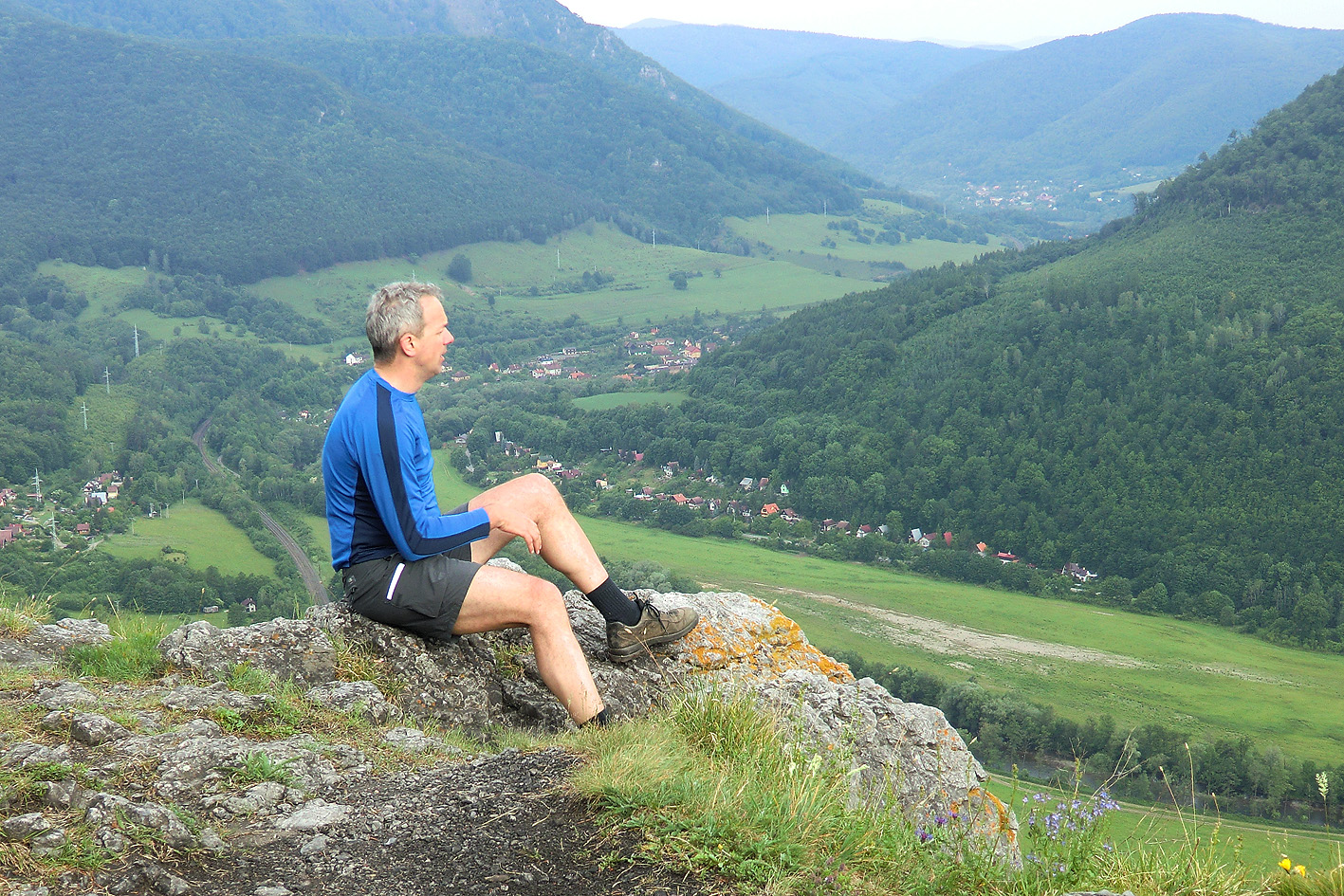
Great view!
From the small map that I have printed from the internet I see in the deep the path where I will be walking in a few hours time. The trail crosses the town of Kysak, and leads consequently back west into the valley that you have been overviewing earlier on.
view back up to the cliff
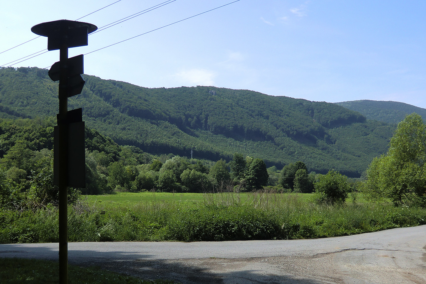
The path is not well taken care of and small bushes are making it not comfortable to walk. After turning north (uphill) the trail enters the bottom of map #115. I coincidentally discovered just a few days for my trip that the section between map #136 and #115 is substantial, which is not obvious from the maps itself. In the forrest it is quite and peacefull enough to see some animals during the afternoon hours (like wild boar and deer) and it is easy to miss the exit to the right, which I do. Shortly after being on the right path again crossing a small creek is a challenge as the bridge lies ruined on the bank, but it is manageable to do it and keep your feet dry. Before arriving in the village of Lubovec the path crosses some accres where the signs are difficult to be found (at least for me). I make my orientation with the compass, the map and the transmission towers that I pass to make sure I am going in the right direction. After crossing Lubovec the Trail continues by using the regular road to the village of Radatice (dirty street, much waste). After Radatice the road is easy and straight, but the Trail decides to leave this comfort behind and continues through many curves, slopes and bushes in the same direction to the village of Cemjata. After loosing the signs in the forrest, I follow the regular road again (not very busy) and meet the white-red-white signs again just before passing Cemjata. The Trail continues to the next village, Zabijana, and then goes downhill into the open fields, crossing the national road from Presov to the west. Shortly after the Trail leads through the village of Maly Saris and consequently through the town of Velky Saris. The Trail passes the famous brewery near the railway station. Only a few minutes later I arrive at the holliday park where I have made a reservation for the night.
The only accomodation that was available was a fully equiped family bungalow. The day was long and warm, and I have a few blisters under both my feet. I have covered today approximately 63km, of which 59km on the E8-Trail. The rest was extra excercise, due to missing signs or misinterpreting them. Tomorrow I want to get up early to make it another interesting day on the Trail.
